Thursday 22nd October 2026 – Afternoon Update
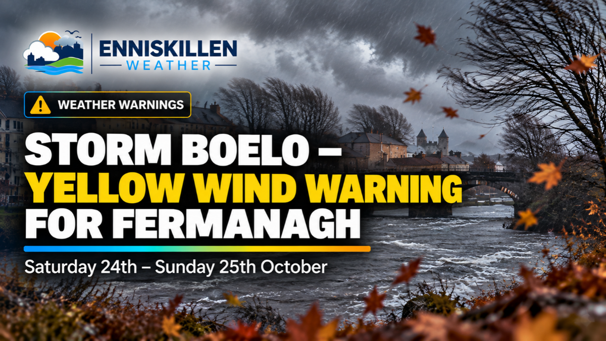
Enniskillen and County Fermanagh are preparing for a spell of very windy weather this weekend as Storm Boelo approaches Northern Ireland, bringing strong winds, heavy rain and the possibility of disruption.
The Met Office has issued an official yellow weather warning for wind, covering all of Northern Ireland from Saturday evening through to Sunday afternoon.
The latest forecasts suggest wind gusts could reach 50–60mph across parts of Fermanagh, with the strongest conditions currently expected during Saturday evening and overnight into Sunday.
When is the weather warning in force?
The Met Office yellow weather warning covers the following period:
- Starts: Saturday 24th October at 6pm (BST)
- Ends: Sunday 25th October at 3pm (GMT)
- Warning: Yellow – Wind
- Areas affected: All six counties of Northern Ireland, including County Fermanagh
Strong westerly winds are expected to develop during Saturday evening, continuing overnight and through much of Sunday before gradually easing during the afternoon.
The Met Office is forecasting widespread gusts of 50–60mph, with some coastal and particularly exposed areas potentially experiencing gusts of 65–75mph.
How strong will the winds be in Enniskillen?
Looking at the latest Met Office hourly forecast for Enniskillen, updated on Thursday 22nd October, winds are expected to strengthen steadily throughout Saturday.
During Saturday morning, gusts could reach between 34mph and 43mph, increasing to around 40–51mph during the afternoon.
However, the strongest winds are currently expected from Saturday evening onwards.
The latest forecast suggests gusts could reach 55–59mph during Saturday night, with winds remaining particularly strong into the early hours of Sunday.
By Sunday morning, gusts are expected to gradually decrease, although conditions could remain very blustery for several hours.
These figures are forecast peak gusts rather than sustained wind speeds, and they may change as the storm approaches.
What are the latest weather models showing?
The latest ECMWF weather charts, reviewed by Enniskillen Weather on Thursday afternoon, support the possibility of a prolonged spell of strong winds across County Fermanagh.
The charts show a deep area of low pressure moving across northern parts of the British Isles, with strong winds affecting much of Ireland and the United Kingdom.
Western and northern parts of Ireland, including Fermanagh, are shown within an area of potentially strong wind gusts.
The latest model guidance broadly supports the Met Office forecast, although the exact strength and timing of the highest gusts will become clearer as the weekend approaches.
Heavy rain and showers also expected
Unfortunately, the wind will not be the only concern this weekend.
Saturday is currently forecast to be a particularly wet day across Enniskillen and County Fermanagh, with outbreaks of rain expected through much of the day.
Temperatures could reach around 13°C, although the strengthening winds and persistent rain will make conditions feel rather unpleasant.
As Storm Boelo moves across the region, further heavy and blustery showers are expected during Saturday night and into Sunday.
Sunday could bring some brighter intervals between showers, but strong winds are likely to remain a feature of the weather, particularly during the morning.
Temperatures on Sunday are expected to reach around 10°C.
Could Storm Boelo cause disruption in Fermanagh?
The Met Office has warned that Storm Boelo could cause disruption across parts of Northern Ireland.
Possible impacts include:
- Power cuts, potentially affecting mobile phone coverage and other services.
- Fallen branches and flying debris during the strongest gusts.
- Some damage to buildings, including roof tiles becoming dislodged.
- Longer journey times and possible travel disruption.
- Localised road closures where fallen trees or debris cause obstructions.
The yellow warning indicates that significant impacts are possible, although the Met Office currently assesses their likelihood as low.
Not every area will experience the same conditions, and exposed locations may experience stronger gusts than more sheltered areas.
Residents are advised to secure loose outdoor items, including garden furniture, bins and trampolines, before the strongest winds arrive.
It may also be sensible to ensure torches, batteries and mobile phones are ready in case of a power interruption.
When will the weather improve?
At present, the strongest winds across Enniskillen and County Fermanagh are expected between Saturday evening and Sunday morning.
The Met Office expects winds to gradually ease from the southwest during Sunday afternoon, although blustery conditions and showers could continue.
Further changes to the forecast remain possible as Storm Boelo approaches.
Latest Storm Boelo updates for Fermanagh
Enniskillen Weather will continue monitoring the latest ECMWF weather models, Met Office forecasts and official weather warnings throughout the weekend.
This article will be updated as further information becomes available, particularly regarding expected wind speeds, the timing of the strongest gusts and any changes to the official warning.
Residents are encouraged to keep up to date with the latest forecasts and take sensible precautions ahead of Saturday evening.
Last updated: Thursday 22nd October 2026